Power Grid Map
See the Global Power Grid with Utility-Grade Precision
Explore every transmission line, substation, and generation asset. Overlay projects, company footprints, and grid-access headroom to plan confidently.
Feature Overview
What the Power Grid Map module allows you to do
Renewable energy deal-makers lose out on prime opportunities because they can't spot where development clusters are forming or which sponsors are active in key regions. Project developers, suppliers, EPCs, and investors chase dead leads for weeks, missing acquisition targets that competitors secure. Without visibility into grid-connected projects and company footprints, deal pipelines dry up while the market accelerates.
Every Scale on One Map
Survey 244 countries and territories at a glance, then drop to a single site. 35M km of lines, 891,727 substations, 5,536 data centres and 3.5M generators sit on one seamless basemap, from the national grid down to the switchyard.
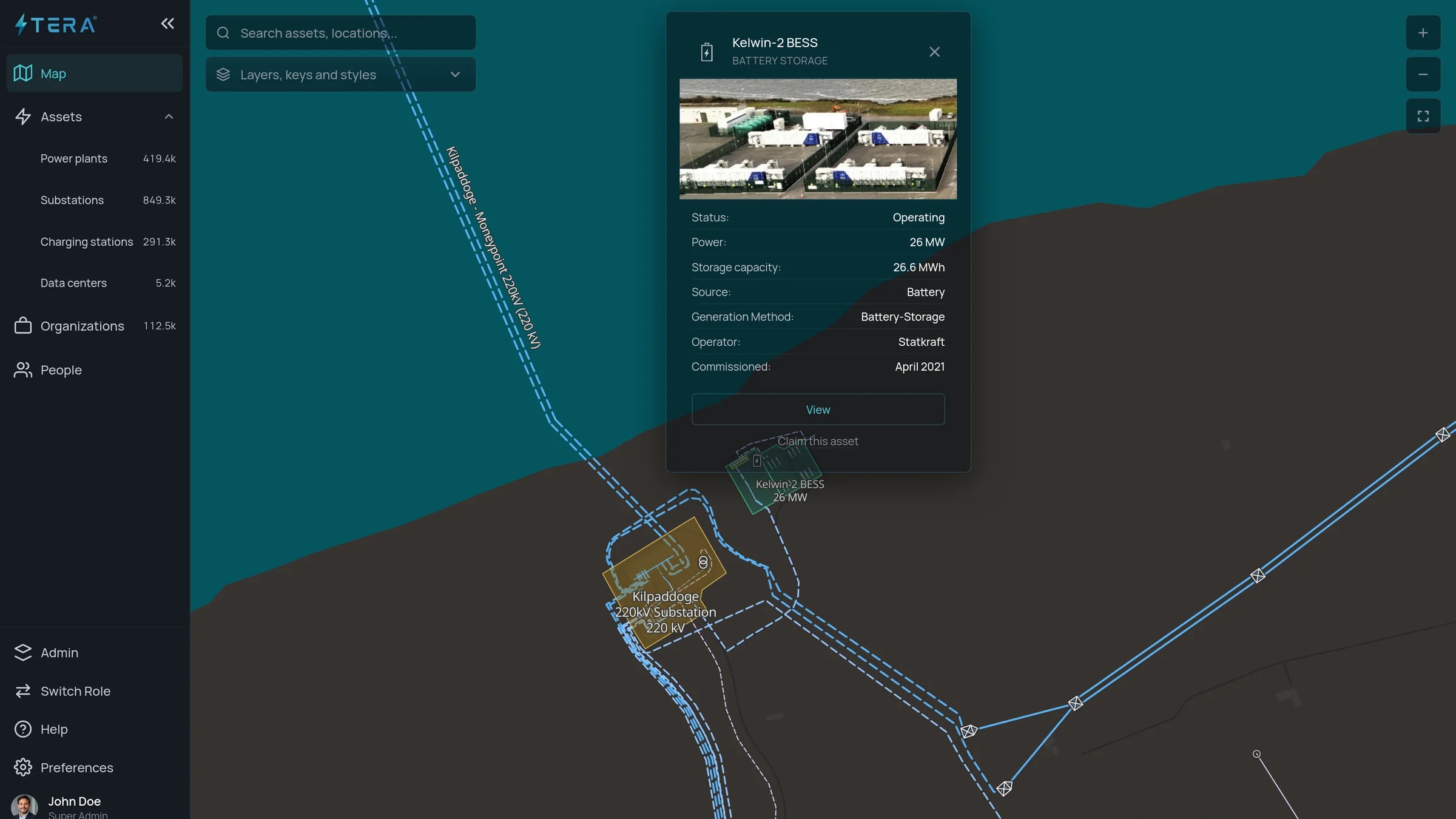
Inspect Any Asset in Place
Click a plant, substation or line to see its land footprint, connection point, rated capacity and technical specifications, with the projects, permits and company footprints around it overlaid on the same view.
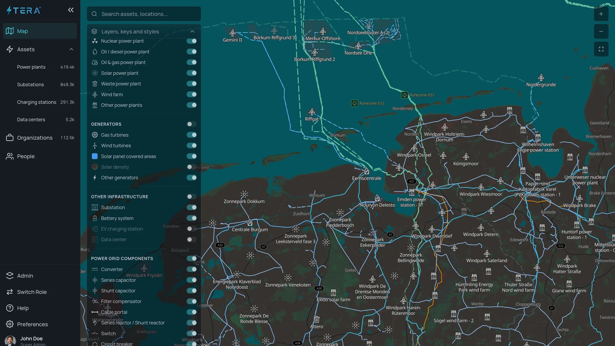
Filter to What Matters
Show only solar, wind, storage, EV charging, or overhead and underground lines. Layer in voltage and asset type to isolate the opportunities you are hunting and hide everything else.
Capabilities
Workflow Outcomes
Translate data depth into commercial results.
Check Grid Connection Headroom
See what a substation can still take for generation, demand and storage, what is already queued, and the network operator's projections wherever they are published.
Benchmark Competition
Compare development density, dominant sponsors, and technology mix across neighboring regions.
Find Where the Grid Is Tight
Spot substations with little or no headroom, and the generation and large loads clustering around them, before investing in a site or an acquisition.
Data & Technical Details
Why Teams Rely on the Power Grid Map Module
- High-voltage, medium-voltage, and distribution layers.
- Map layers built for electricity infrastructure and served from Tera's own servers.
- EV charging networks, converters, compensators, and switches included.
Navigate the Power Grid with Tera
Free shows the power plants and the grid. Pro adds every layer, grid headroom included, and the people at each company, from €79 a month.Free shows the power plants and the grid. Pro adds every layer, grid headroom included, and the people at each company, from $79 a month.