Power Grid Map
France Power Grid Map
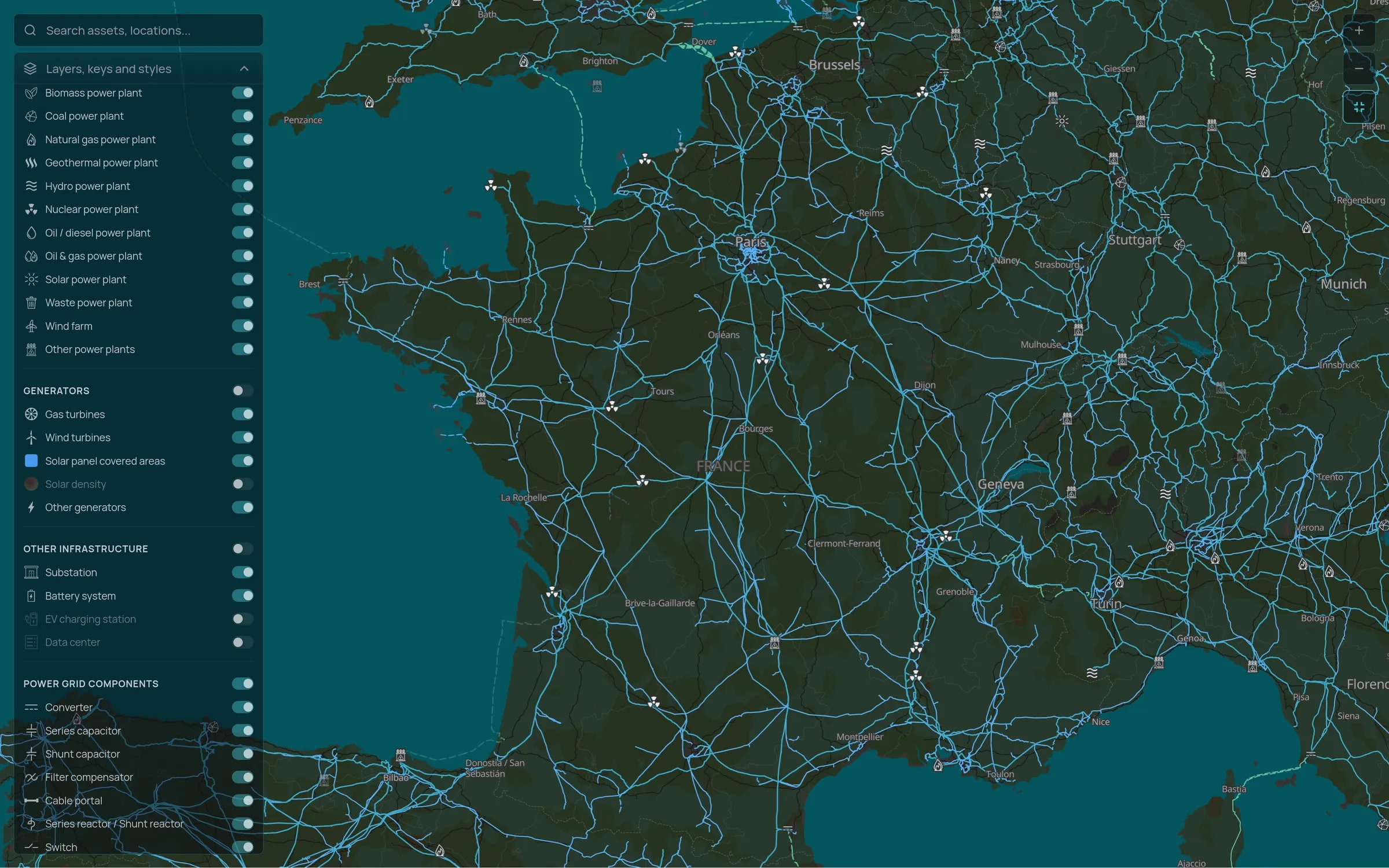
Substations, transmission lines and power plants across France on one map, from the 400 kV network down to distribution substations, with the companies that own and operate them.
Coverage
What the map holds for France
Figures from the Tera dataset as of 8 October 2026. The map also shows transmission lines, towers, transformers, switches and compensators by voltage level.
Transmission and distribution
High and extra high voltage lines and substations, and the distribution substations beneath them, by voltage level.
Generation and pipeline
Nuclear, hydro, wind, solar, gas and storage plants in operation, and projects in development, each linked to its owners and developers.
Large loads
Data centres and EV charging stations, so you can see where new demand is clustering.
Market context
How the grid works in France
RTE operates the whole French transmission network, one of the largest in Europe, while Enedis runs around 95 percent of the distribution network and local distribution companies serve the rest. Nuclear still provides most of the country's electricity, and France is usually one of Europe's largest net exporters of power.
Renewable connections are planned region by region through the S3REnR schemes, which reserve capacity at substations and share the cost of reinforcement among the projects that use it. Knowing which substations still have capacity, and which areas are saturated, is central to site selection.
See France on the map
Tell us which regions you are working on and we will walk you through the substations, lines and projects there.