Power Grid Map
Germany Power Grid Map
Substations, transmission lines and power plants across Germany on one map, from the extra high voltage network down to distribution substations, with the companies that own and operate them.
Coverage
What the map holds for Germany
Figures from the Tera dataset as of 8 October 2026. The map also shows transmission lines, towers, transformers, switches and compensators by voltage level.
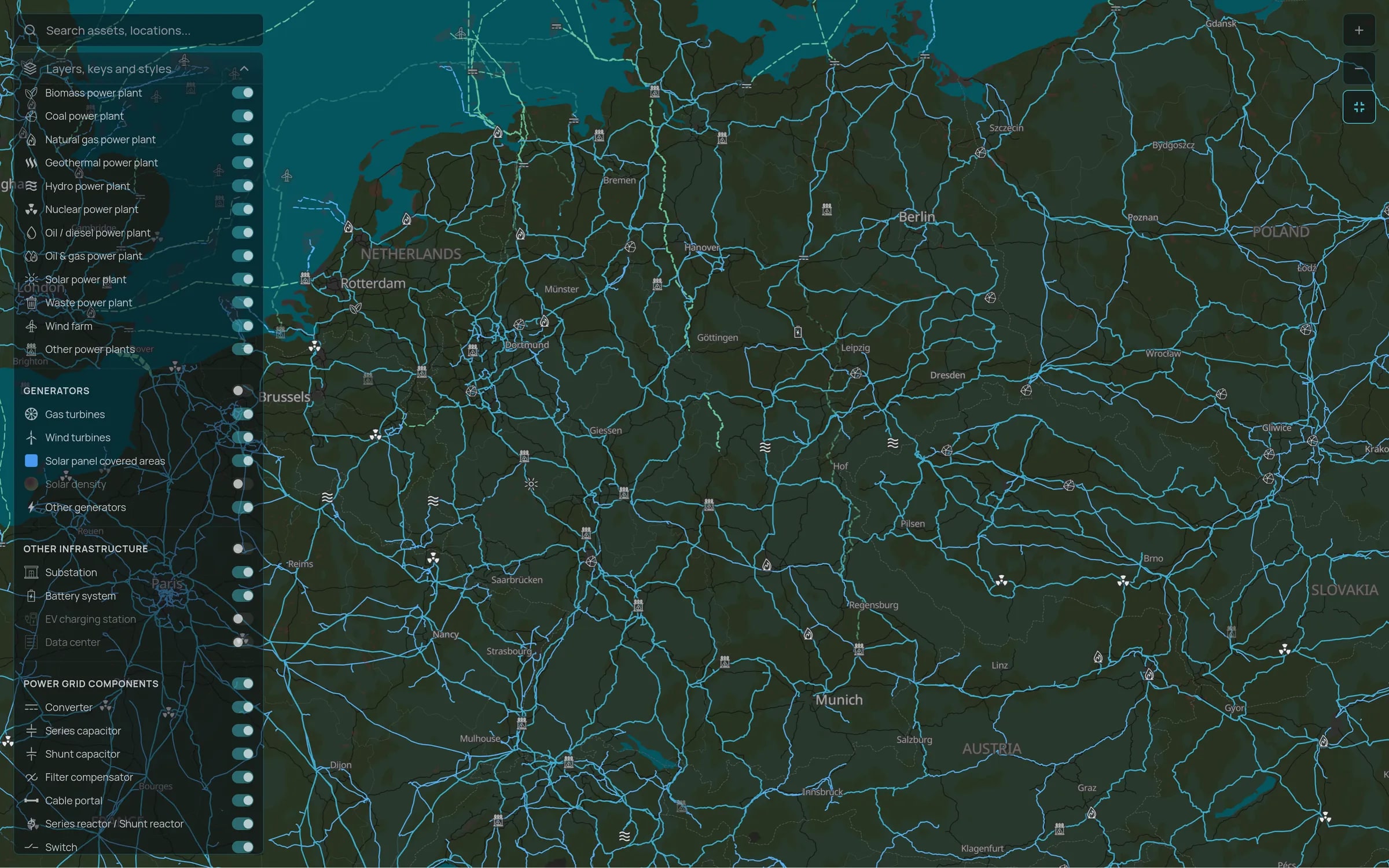
Transmission and distribution
Extra high voltage lines and substations in all four transmission zones, and the dense distribution network beneath them.
Generation and pipeline
Operating wind, solar, gas, coal, hydro and storage plants, and projects still in development, each linked to its owners and developers.
Large loads
Data centres and EV charging stations, so you can see where new demand is clustering.
Market context
How the grid works in Germany
Four TSOs run Germany's transmission grid, each in its own control area: 50Hertz in the north-east, Amprion in the west, TenneT on a corridor from the North Sea to Bavaria, and TransnetBW in Baden-Württemberg. Several hundred distribution system operators run the lower voltage networks, and most wind and solar capacity connects at distribution level.
The main constraint is moving wind power from the north to industrial demand in the south and west. HVDC corridors such as SuedLink and SuedOstLink are being built to close that gap, and until they are, redispatch and curtailment stay significant. For developers and investors, substation location and voltage level matter as much as resource quality.
See Germany on the map
Tell us which regions you are working on and we will walk you through the substations, lines and projects there.