Power Grid Map
United States Power Grid Map
Substations, transmission lines, power plants and data centres across the United States on one map, with the companies that own, operate and develop them.
Coverage
What the map holds for the United States
Figures from the Tera dataset as of 8 October 2026. The map also shows transmission lines, towers, transformers, switches and compensators by voltage level.
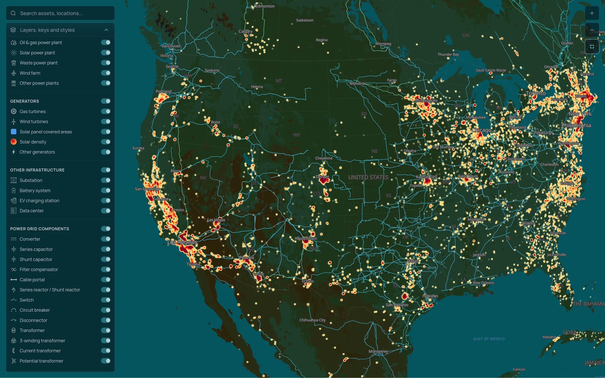
Transmission and substations
High voltage lines and substations across the three interconnections, filterable by voltage level.
Generation and pipeline
Operating plants and projects in development, each linked to its owners, developers and other companies involved.
Data centres and large loads
Data centres and EV charging stations next to the substations that serve them, so you can see where demand is clustering.
Market context
How the grid works in the United States
The United States has no single national grid. It is split into three interconnections, the Eastern, the Western and ERCOT in Texas, which exchange little power with each other. Seven ISOs and RTOs run wholesale markets serving about two thirds of consumers, and vertically integrated utilities serve the rest.
Interconnection queues hold far more generation and storage than will ever be built, and FERC Order No. 2023 moved operators to cluster studies to clear them. Fast-growing data centre demand now competes with new generation for the same substations, which makes grid location data central to both development and site selection.
See the United States on the map
Tell us which regions you are working on and we will walk you through the substations, lines and projects there.