Power Grid Map
Great Britain Power Grid Map
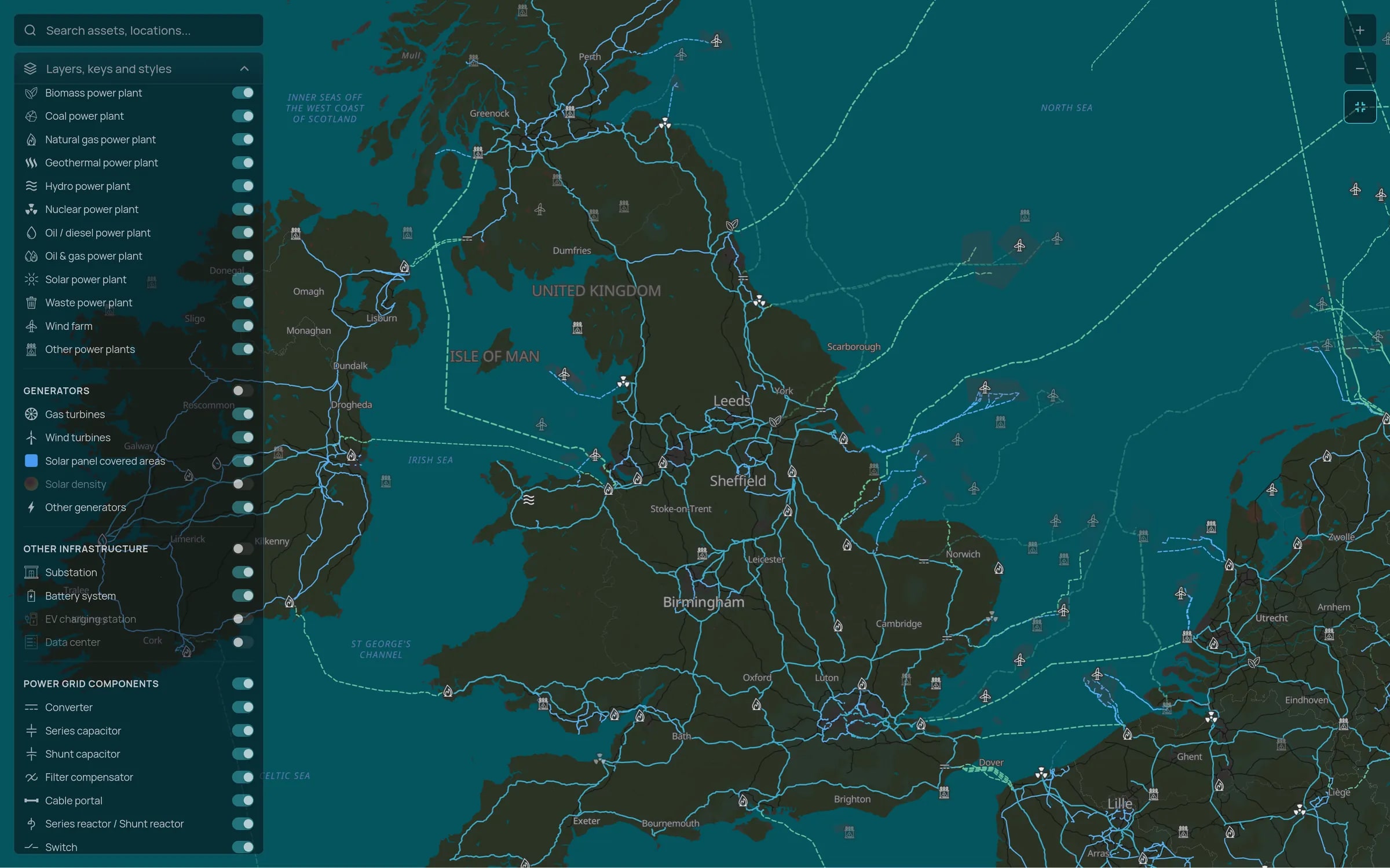
Substations, transmission lines and power plants across England, Scotland and Wales on one map, with the companies that own, operate and develop them.
Coverage
What the map holds for Great Britain
Figures from the Tera dataset as of 8 October 2026. The map also shows transmission lines, towers, transformers, switches and compensators by voltage level.
Transmission and distribution
The 400 kV and 275 kV transmission network, Scotland's 132 kV transmission lines, and the distribution substations beneath them.
Generation and pipeline
Operating plants and the much larger pipeline of wind, solar and storage projects in development, each linked to its developers and owners.
Large loads
Data centres and EV charging stations, so you can see where new demand is clustering.
Market context
How the grid works in Great Britain
Three companies own Great Britain's transmission network: National Grid Electricity Transmission in England and Wales, SP Energy Networks in southern Scotland and SSEN Transmission in northern Scotland. The National Energy System Operator (NESO) runs the system, and fourteen distribution licence areas are operated by six distribution network groups.
The connection queue grew to several hundred gigawatts, far more than the system needs, which led to a reform that reorders projects by readiness and strategic fit. Constraints between Scotland and England remain the biggest bottleneck, so pipeline data matters as much as what is already operating.
See Great Britain on the map
Tell us which regions you are working on and we will walk you through the substations, lines and projects there.